
Track Ships Worldwide
Search vessels by name, IMO, MMSI or call sign and explore ship details, live vessel positions, fleets and ports around the world.
Live Vessel Map
Explore vessel movements and ship positions around the world. Use the interactive map to discover vessels currently reporting through AIS.
Browse Ships by Vessel Type
Explore commercial, passenger and specialist vessels in the Ship-Tracker.org database.
How Does Ship Tracking Work?
Thousands of vessels travel across oceans, coastal waters and waterways every day. Many commercial ships transmit information through the Automatic Identification System, commonly known as AIS. These signals can include a vessel’s identity, position, course and speed.
AIS was designed primarily to improve maritime safety and situational awareness. Shore stations, satellites and maritime data services can also make parts of this information available through online ship tracking platforms.
AIS
Automatic Identification System used for vessel identification and navigational information.
IMO
A permanent identification number assigned to eligible ships and used throughout the vessel’s lifetime.
MMSI
A maritime radio identity used in AIS and other maritime communication systems.
Live Position
Reported vessel positions can be displayed on maritime maps when suitable AIS data is available.
What Information Can AIS Provide?
Depending on the vessel and available data source, ship tracking information may include navigational and identification details.
Finding Ships on Interactive Maps
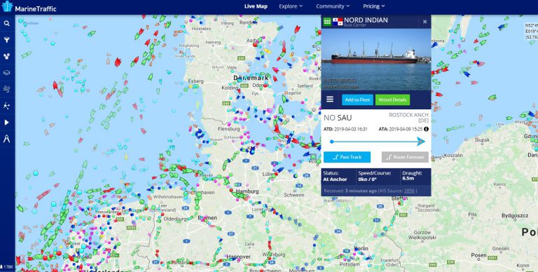
Modern ship tracking platforms combine AIS reports with interactive maps and vessel databases. Users can search for a specific vessel, inspect available ship particulars and follow reported movements.
Ship-Tracker.org brings together vessel search, ship information and live tracking tools to make maritime information easier to explore.
Popular Ships
Explore selected vessels and continue to detailed ship pages with identification, technical data and available tracking information.
Looking for a Ship?
Search the vessel database by ship name, IMO number, MMSI or call sign.
Live Ship Tracking with VesselFinder
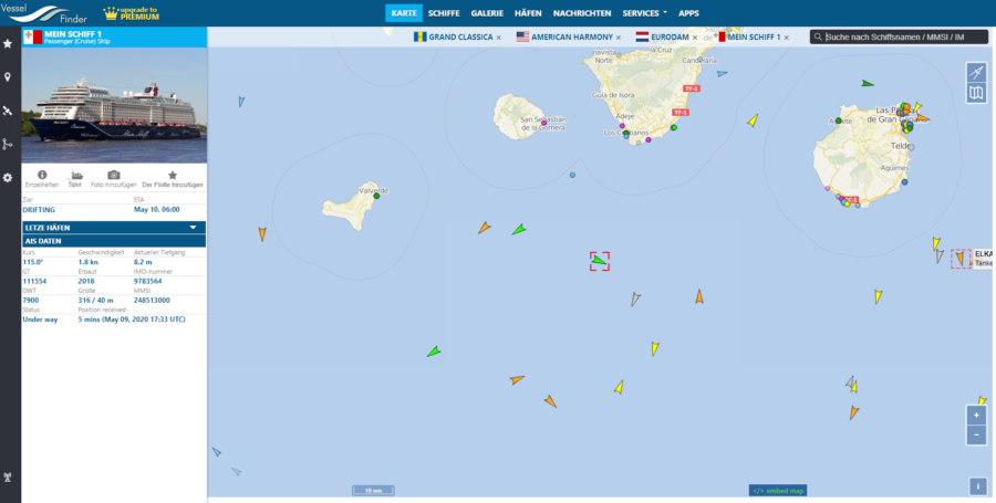
VesselFinder provides an interactive maritime map and vessel information based on available AIS reports. Ship-Tracker.org uses VesselFinder map integration as part of its live tracking experience.
Position availability and update intervals can vary depending on AIS reception and data coverage.
Explore Popular Fleets
Discover vessels grouped by fleet, operator or company where reliable relationships and public destination pages are available.
Explore Ports Worldwide
Browse selected ports and discover port information, vessel activity and related maritime destinations.
Explore Ports by Country
Browse country port directories built from existing published Ship-Tracker.org port profiles.
Why Use a Ship Tracker?
Ship tracking can be useful for many different reasons. Cruise enthusiasts may want to follow a favorite ship, maritime professionals can research vessel identities and ship particulars, and port visitors can explore vessel traffic around major harbors.
Tracking tools also provide a practical way to understand global shipping routes, cargo movements and the scale of maritime transport. From container ships crossing major trade routes to ferries operating regional services, AIS-based maps make vessel movements easier to explore.
Ship Tracking FAQ
What is a ship tracker?
A ship tracker is an online tool that displays vessel information and reported ship positions, usually using AIS and other maritime data sources.
What is AIS?
AIS stands for Automatic Identification System. It is used by vessels to transmit identification, position and navigational information.
Can I search for a ship by IMO number?
Yes. Ship-Tracker.org is designed to support vessel searches by ship name, IMO number, MMSI and call sign where the information is available.
Can I search for a vessel by MMSI?
Yes. MMSI can be used as a vessel search identifier, although IMO remains the preferred permanent identifier for eligible ships.
Are ship positions shown in real time?
AIS position updates depend on receiving coverage, vessel transmissions and the data provider. Some positions may therefore be delayed or unavailable.
What information can I find about a vessel?
Depending on the vessel, available information may include IMO, MMSI, call sign, vessel type, flag, dimensions, tonnage, year built and additional technical or ownership data.


